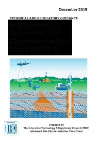
Geophysical classification is the process of using advanced sensor data to make principled decisions about whether buried metal objects are potentially hazardous munitions that should be excavated or items such as metal clutter and debris that can be left in the ground. Geophysical classification first detects metallic items beneath the ground surface and then uses advanced electromagnetic induction sensors to collect additional data. With the additional data, geophysicists can estimate the depth of each buried item, as well as intrinsic properties related to its size, material composition, wall thickness, and shape. Thus, by using the geophysical classification approach, a munitions response can focus on excavating only the buried metal items identified as potential munitions. Using this process, in combination with quality assurance investigations of other anomalies, results in a more efficient munitions response effort using more defensible data.
The Geophysical Classification for Munitions Response (GCMR-2, 2015) guidance clearly explains the process of geophysical classification; describes its benefits and limitations, including site-specific characteristics that can impose limitations on its use; and most importantly discusses the information and data needed by regulators to monitor and evaluate the use of the technology. This document also emphasizes the use of a systematic planning process to develop data acquisition and decision strategies at the outset of a munitions response effort.
For readers looking for a basic introduction to the topic, the companion document Geophysical Classification for Munitions Response Fact Sheets (GCMR-1, 2012) provides an overview of the key concepts and terminology.
Topic(s): Advanced Site Characterization, Geophysical Methods, Munitions Response, Site Characterization, Unexploded Ordnance (UXO)